Upsc insights
Welcome to my UPSC learning space — where I share clear, concise, and thoughtful blogs on Polity, History, Geography, and Economics. Learn, revise, and stay inspired for your civil services journey.
Welcome to my UPSC learning space — where I share clear, concise, and thoughtful blogs on Polity, History, Geography, and Economics. Learn, revise, and stay inspired for your civil services journey.
Welcome to my UPSC learning space — where I share clear, concise, and thoughtful blogs on Polity, History, Geography, and Economics. Learn, revise, and stay inspired for your civil services journey.
Have you ever wondered why some of India’s biggest cities like Mumbai and Chennai developed along the sea? Or why ports are mostly located on flat coastal land instead of steep hills?
The answer lies in the concept of a coastal plain.
For UPSC aspirants and other competitive exam students, the coastal plain is an important topic in Physical Geography. It is frequently linked with landforms, drainage, ports, agriculture, climate, and economic geography.
In this article, we will understand the coastal plain in a simple and exam-focused way.
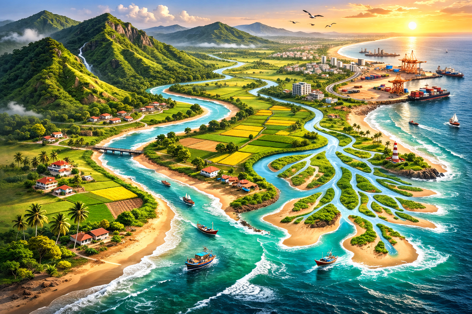
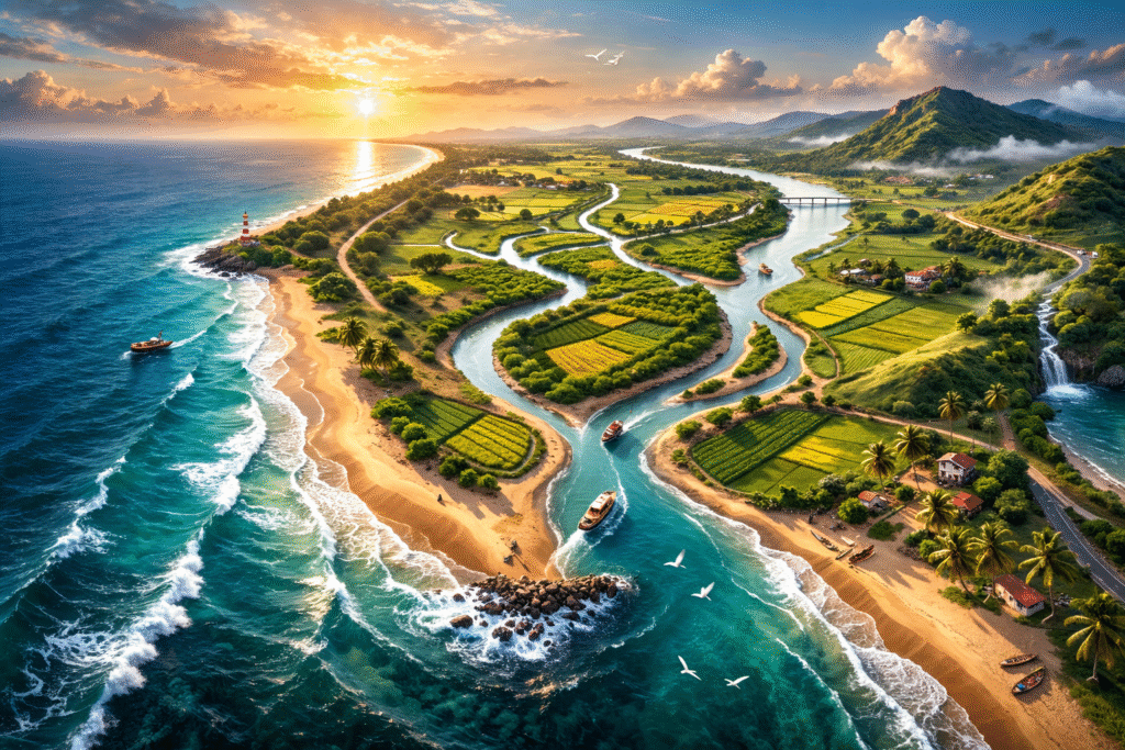
A coastal plain is a flat, low-lying stretch of land located between the coast (sea or ocean) and inland highlands such as plateaus or mountains.
It is usually:
In India, coastal plains lie between the Western Ghats and the Arabian Sea and between the Eastern Ghats and the Bay of Bengal.
Understanding formation is important for UPSC Prelims and Mains.
A coastal plain is mainly formed due to:
Sea waves deposit sand, silt, and clay along the shore. Over time, this builds up flat land.
Example:
Rivers carry sediments from mountains and deposit them near their mouths, forming deltas and plains.
Example:
Western Coastal Plain is an example of submergent coast in parts.
For exam clarity, coastal plains are generally classified into two main types:
Formed due to uplift of land.
Features:
Example:
Formed when land sinks or sea level rises.
Features:
Example:
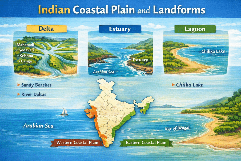
India has two major coastal plains:
Let us study them in detail.
The Western Coastal Plain lies between the Western Ghats and the Arabian Sea.
Examples:
The Eastern Coastal Plain lies between the Eastern Ghats and the Bay of Bengal.
| Feature | Western Coastal Plain | Eastern Coastal Plain |
|---|---|---|
| Width | Narrow | Wide |
| Coast Type | Submergent | Emergent |
| River Mouth | Estuaries | Deltas |
| Sediment Deposition | Less | More |
| Ports | Natural harbours | Artificial harbours common |
This table is highly useful for UPSC revision.
When studying coastal plain, link it with these landforms:
Formed by river deposition.
Example: Ganga-Brahmaputra Delta.
Drowned river mouth.
Example: Narmada estuary.
Shallow water body separated from sea.
Example: Chilika Lake.
Depositional features formed by waves.
These are commonly asked in UPSC Prelims.
A coastal plain is not just a physical feature. It has economic and strategic importance.
For better understanding, you can draw:
Draw:
Label:
Draw outline map of India and mark:
Even a rough diagram fetches extra marks in Mains.
UPSC often links geography with disasters.
Eastern Coastal Plain is cyclone-prone due to Bay of Bengal.
Low-lying coastal plains are vulnerable.
Example:
Waves erode beaches and settlements.
Globally, coastal plains are found in:
These areas are densely populated and agriculturally productive.
In a 10–15 marker answer:
Keep structure clear and logical.
A coastal plain is a flat, low-lying land along the coast formed by marine and river deposition.
India has two major coastal plains:
They are economically important for agriculture, ports, fisheries, and trade.
For UPSC, remember:
If you revise these points, you can confidently handle any question related to coastal plain in Prelims or Mains.
A coastal plain is a flat area of land near the sea formed by deposition of sediments by rivers and sea waves.
Because major rivers like Godavari and Krishna deposit large amounts of sediments, forming wide deltas.
Due to submergence and steep slope of the Western Ghats, rivers form estuaries instead of deltas.
Mahanadi, Godavari, Krishna, and Kaveri.
It supports agriculture, ports, fisheries, trade, tourism, and strategic activities.